Decoding Cumulus Clouds: The Science of Nature's Cotton Candy
 Apr, 14 2026
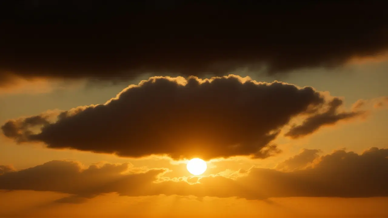
Ever looked up on a lazy Sunday and seen those perfect, fluffy white shapes drifting by? Those are cumulus clouds, the quintessential symbols of a perfect day. These low-altitude formations, often appearing like giant heaps of cotton candy, aren't just pretty to look at; they're actually dynamic indicators of what's happening in our atmosphere. From the gentle "fair weather" puffs to the towering giants that bring summer storms, understanding these clouds is the first step in reading the sky like a pro.
For most of us, these clouds are the gold standard for "cloud spotting"—that childhood pastime of finding dragons or rocket ships in the sky. But there's a specific science behind why they look that way. According to the Royal Meteorological Society, these formations typically stay below 2,000 meters (about 6,500 feet), featuring flat bases and cauliflower-like tops. It's a distinct look that separates them from the thin, wispy cirrus clouds or the flat, grey blankets of stratus clouds.
The Engine Behind the Puff: How Convection Works
Here's the thing: cumulus clouds don't just appear out of nowhere. They are the result of a process called convection. Think of it like a hot air balloon. When the sun beats down on the earth, the ground warms up, which in turn heats the air directly above it. This warm air becomes lighter than the cool air around it and begins to rise in columns known as thermals.
As this warm, moist air climbs, it eventually hits a height where the temperature drops enough for the water vapor to condense into tiny liquid droplets. These droplets scatter sunlight in every direction, which is why these clouds look so brilliantly white. Interestingly, they often form in clusters or lines, depending on how the surface wind is moving those rising pockets of heat.
This process is remarkably similar to how heat moves within a building, where warm air rises to the ceiling while cool air sinks. In the open sky, this "stacking" effect is what gives the cumulus its name, derived from the Latin word for "heap." It's a literal pile of moisture suspended in the air.
From Fair Weather to Fierce Storms
Not all puffy clouds are created equal. Most of the time, we deal with "fair weather cumulus," also known as cumulus humilis. These are the small, scattered clouds that stay low and don't grow vertically. They're a sign that the atmosphere is relatively stable and the weather is going to stay gorgeous.
But wait—the plot can thicken. When the atmosphere is unstable and there's plenty of moisture, a simple cumulus cloud can undergo a massive growth spurt. If the convection is strong enough, the cloud pushes upward, towering higher and higher into the atmosphere. This is where they transform into NASA-studied giants known as cumulonimbus clouds.
The transition is visually striking. While a fair-weather cloud is white and fluffy, a developing cumulonimbus starts to darken at the bottom. This darkening is a warning sign: it means the cloud is becoming so dense with water droplets that sunlight can no longer pass through it. It's a clear signal that rain is on the way.
The Anatomy of a Thunderstorm
Once a cloud reaches the cumulonimbus stage, it becomes a vertical powerhouse. Unlike their smaller cousins, these clouds can stretch from the low altitudes all the way up to the top of the troposphere. The droplets inside get bigger and heavier, eventually falling as torrential rain or, if the updrafts are strong enough to push them back up and freeze them, as hail.
The most dangerous part of this growth is the electrical charge. Because these clouds are so tall, a massive difference in electrical potential builds up between the warm base and the freezing top. When that tension snaps, we get lightning and thunder. It's a violent end to what started as a simple, puffy white heap.
- Maximum Base Height: Typically below 2,000 meters (6,500 feet).
- Formation Method: Convection (rising warm air/thermals).
- Visual Markers: Flat bases and "cauliflower" tops.
- Evolution: Cumulus $\rightarrow$ Cumulonimbus (Storm clouds).
- Primary Component: Minute water droplets scattering sunlight.

Why Cloud Spotting Actually Matters
You might think looking at clouds is just a hobby, but for meteorologists and pilots, it's critical data. Educational platforms like Learn Bright emphasize that observing these formations helps people understand basic atmospheric processes in real-time. By watching the growth rate of a cumulus cloud, an experienced observer can predict whether a sunny afternoon will end in a breeze or a blackout storm.
Furthermore, these clouds play a role in the Earth's energy balance. By reflecting a significant portion of incoming solar radiation back into space, they help keep the planet's surface from overheating. They are, in essence, the Earth's natural parasols.
Frequently Asked Questions
What is the main difference between a cumulus and a cumulonimbus cloud?
The primary difference is scale and stability. Cumulus clouds are smaller, "fair weather" clouds that stay low to the ground. Cumulonimbus clouds are towering vertical giants that span multiple altitude layers, producing heavy rain, lightning, and sometimes tornadoes due to intense convection and electrical charges.
Why are cumulus clouds so white?
They are composed of countless tiny water droplets. These droplets are the perfect size to scatter all visible wavelengths of sunlight equally, which our eyes perceive as a brilliant, bright white. When the cloud becomes too thick for light to pass through, it appears grey or black.
Can you tell if a storm is coming just by looking at these clouds?
Yes, by watching the vertical growth. If a cumulus cloud begins to grow rapidly upward (towering) and the base turns a dark grey, it is transitioning into a cumulonimbus. This darkening indicates a high density of water droplets, meaning precipitation is imminent.
What is the role of "thermals" in cloud formation?
Thermals are columns of rising warm air. They act as the "elevator" for moisture. As the sun heats the ground, these thermals carry water vapor high into the atmosphere where it cools and condenses, creating the heaped, puffy structure characteristic of cumulus clouds.
Mason Interactive
April 16, 2026 AT 17:40Grew up in the Midwest where these things basically dictate if you're having a picnic or running for cover in five minutes. It's wild how a simple white puff can turn into a monster so quickly.
Aaron X
April 16, 2026 AT 23:25The ontological transition from a benign cumulus humilis to a towering cumulonimbus is a masterclass in atmospheric thermodynamics. We're essentially witnessing the macroscopic manifestation of adiabatic cooling and latent heat release, where the stochastic nature of moisture distribution creates a deterministic path toward electrical discharge. It's less about 'cotton candy' and more about the inevitable entropy of a superheated parcel of air striving for equilibrium within the tropospheric gradient.
Antony Bachtiar
April 18, 2026 AT 20:11probly just wind patterns and not some magic cotton candy sciencce lol. ppl overthink this stuff way too much
Alex Green international
April 19, 2026 AT 10:55It is truly humbling to observe the natural order of our atmosphere and how these processes guide our daily lives without our conscious intervention
Dianna Knight
April 21, 2026 AT 00:43The convective currents creating these cells are just fascinating! ☁️ It's all about that adiabatic lapse rate in action, turning simple water vapor into a massive thermal engine :) Love seeing the science behind the beauty!
Beth Elwood
April 22, 2026 AT 18:51If you're into cloud spotting, definitely check out the different types of 'pileus' clouds that sometimes form on top of the cumulonimbus giants 🌤️ It adds a whole other layer to the visual experience ⚡️⛈️
Josh Raine
April 24, 2026 AT 18:36Why do we always treat the sky like a playground when it's actually a violent chemical reactor? 🙄 It's almost arrogant to call them 'cotton candy' when the same physics can literally flatten a town in minutes. We're just ants looking at a giant's footprints and calling it pretty. The sheer scale of the electrical potential is terrifying if you actually think about it. 😡
Shelley Brinkley
April 26, 2026 AT 14:42imagine thinkin this is la a ground breaking la discovery lol its basic school stuff m8
Angie Khupe
April 27, 2026 AT 07:32I think it's lovely that we can all appreciate the sky together, regardless of how much science we know! 😊
Mel Alm
April 27, 2026 AT 14:18always loved lookin at the sky on lzy days
Nikita Roy
April 28, 2026 AT 19:25so cool to see how nature works in such a beautiful way
Jivika Mahal
April 30, 2026 AT 12:15This is such a great way to explain it! I've always tried to tell my students that the sky is like a giant lab and just lookin up is a lesson in physics even if you make a few mistaks in the labeling
Kartik Shetty
May 1, 2026 AT 11:02The simplification here is almost offensive to anyone with a basic grasp of fluid dynamics. One does not simply 'read the sky' without acknowledging the Coriolis effect and its influence on cellular convection. It's a quaint attempt at education but lacks the intellectual rigor required for true meteorological discourse
Anu Taneja
May 1, 2026 AT 17:35A very concise explanation of a complex topic
vipul gangwar
May 2, 2026 AT 06:49I just like lying in the grass and watching them move. It's a vibe. The science is cool and all, but the feeling of just drifting away while watching the shapes is the real win here.
Sharath Narla
May 3, 2026 AT 12:44Sure, let's just ignore the fact that these 'natural parasols' also cause catastrophic flooding every other summer. Nature's logic is just great, isn't it? 🙃
Gary Clement
May 4, 2026 AT 01:22Actually the flat base is usually the lifting condensation level where the air has cooled enough for water vapor to condense. It's a great way to estimate how high the cloud base is just by looking at the terrain below it
nikolai kingsley
May 5, 2026 AT 13:06some people dont care about the rules of nature but i think its a shame how we ignore the laws of the land when the storm hits and we all scream for help because we didnt pay attention to the clouds